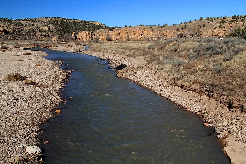
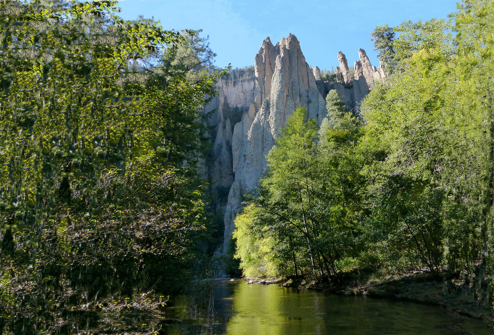
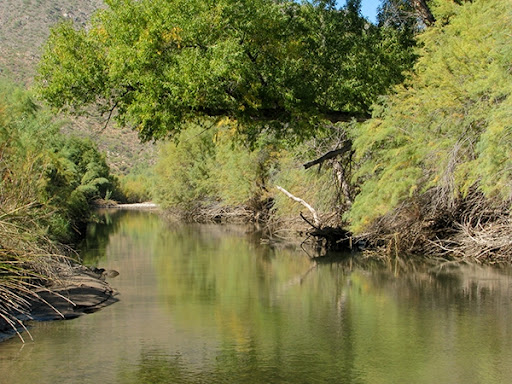
Part of the Arizona National Scenic Trail passes right through this area.
The landscape features towering cliffs, cottonwood trees, and flowing water — a striking desert contrast.
Ideal for birdwatching, hiking, and photography, especially during sunrise and sunset.
A quiet, off-the-beaten-path destination just over an hour from Phoenix.
Plan your visit with our access information and helpful tips
Plan your arrival with our access guidelines
Accessible year-round, but the best time to visit is October through April.
From Phoenix, take US-60 East toward Superior, then head south on AZ-177.
It’s a moderate trail, about 8 miles round trip, with beautiful views of the river, cliffs, and desert flora.
Mostly paved with a short dirt stretch near Kelvin Bridge — standard cars fine, but high-clearance recommended after rain.
Not required — area lies outside Tonto National Forest, but amenities are limited, so bring supplies.
Note: Road conditions can change rapidly. Always verify current access routes before your visit.
Make the most of your visit with these helpful tips
There is little to no shade along the trail or riverbank.
Temperatures can exceed 100°F+ early morning visits are best.
The terrain is rocky and uneven near the river crossings.
You might spot birds, reptiles, or wild burros near the water.
Download maps before visiting — coverage is very limited in this remote area.
Remember: Preparation is key to an enjoyable and safe visit to this beautiful natural area.
Information is subject to change. Please check official sources for the latest updates before your visit.
Address: Gila River at Kelvin, Florence-Kelvin Highway, Kelvin, Arizona 85137, USA
Region: Lower Sonoran Desert – Pinal County, Arizona
Nearest Town: Superior, Arizona (about 15 miles north)
Distance from Phoenix: Approximately 70 miles southeast (~1 hour 30 minutes drive)